Specialized Marine
Musandam Gas Plant — Integrated Marine Survey
Project Overview
Integrated geophysical, bathymetric, and sub-bottom geological mapping to plan the offshore pipeline corridors and platform structures serving the Musandam Gas Plant. Completed under the founding leadership of Sultan Muhammad Al Humaidi.
Scope of Work
- Geophysical survey vessel operations
- High-resolution bathymetric mapping
- Sub-bottom geological profile mapping
- Pipeline route recommendation reports
Services Delivered
Specialized MarineGeophysical SurveySub-bottom Profiling
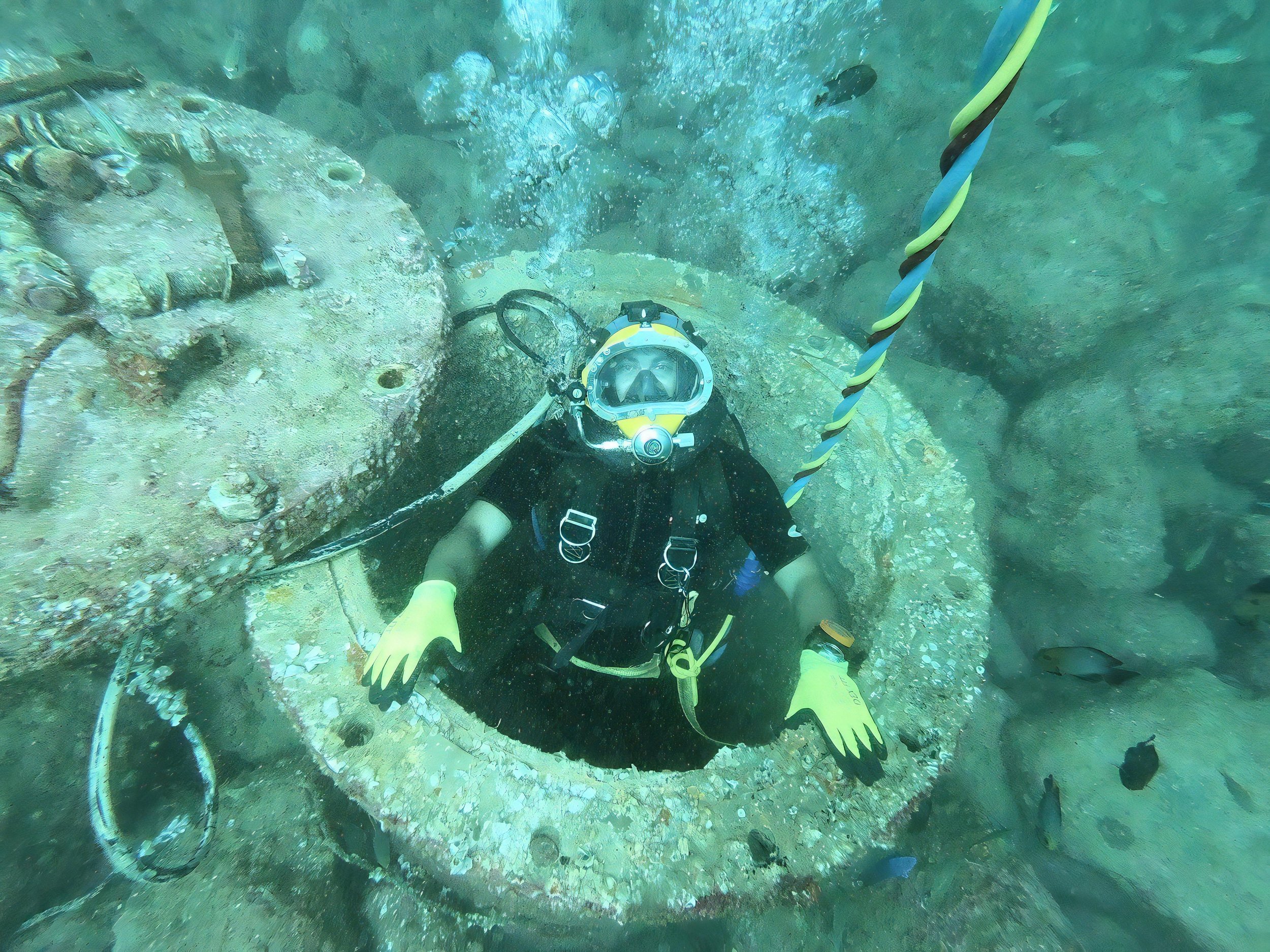
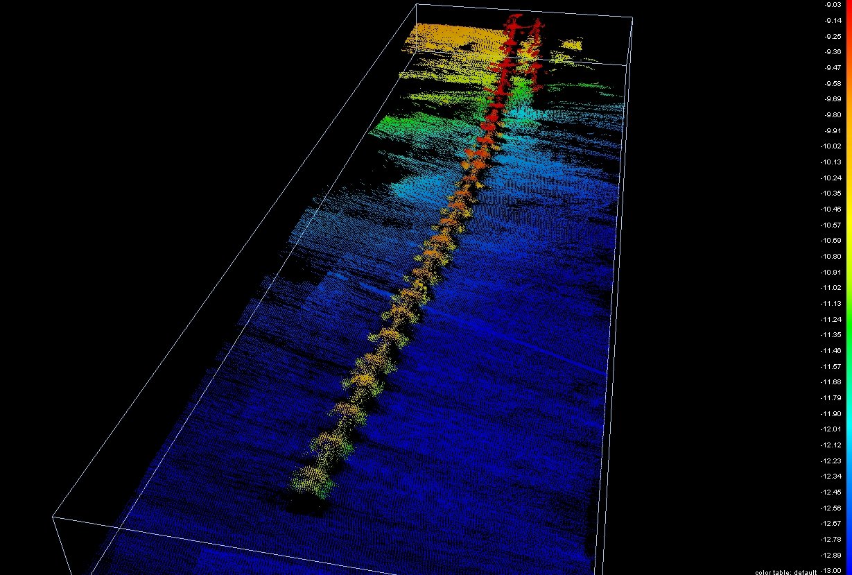
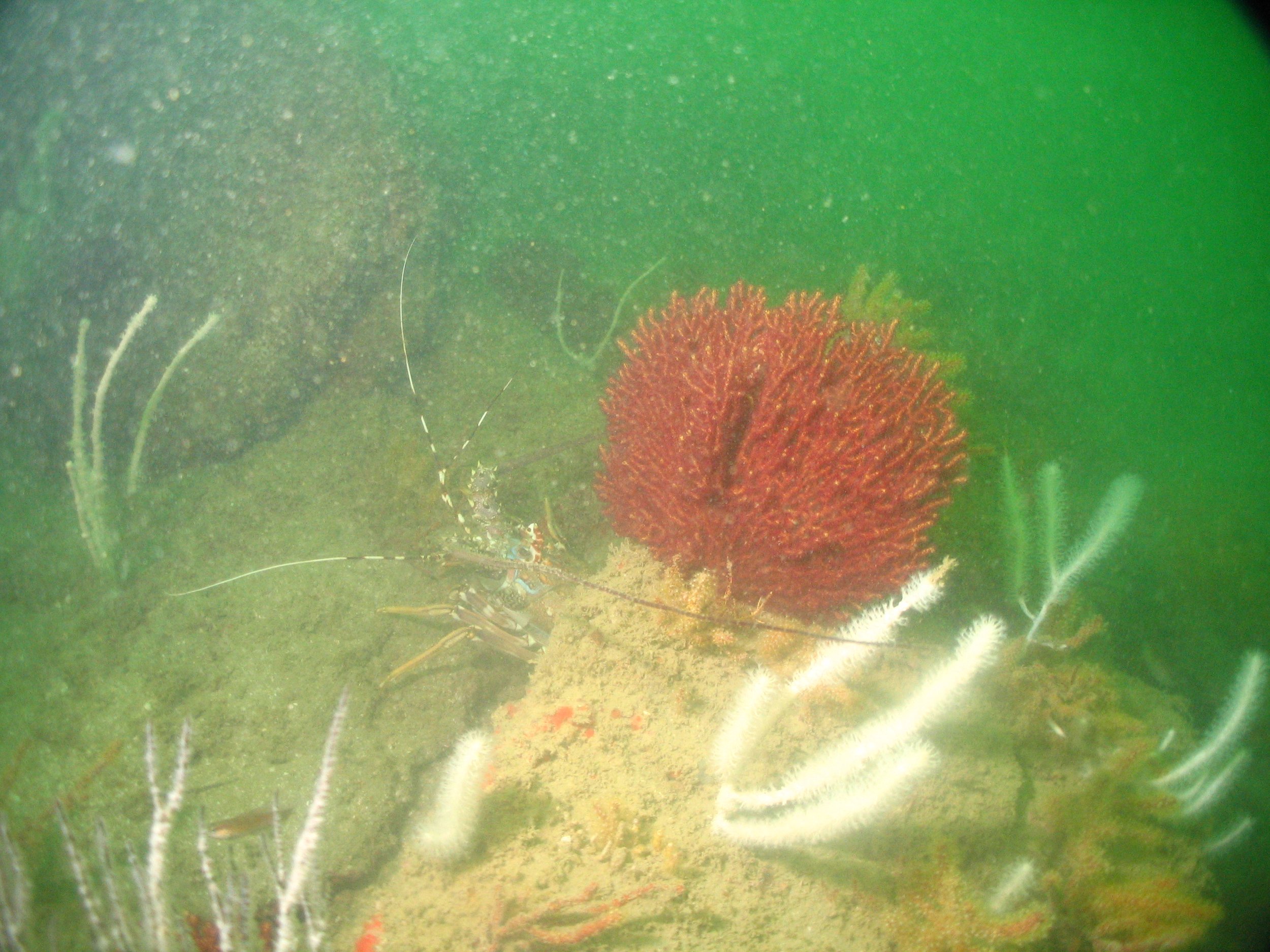
Project Gallery
Operational Image 1
Operational Image 2
Operational Image 3
Operational media pending — awaiting final documentation packages from client
Project Metadata
Client
Oman LNG / PDO
Location
Musandam Governorate, Oman
Region
Musandam, Oman
Service Category
Specialized Marine
Completion Year
2004
Legacy Continuity
This project was delivered under the founding leadership of Sultan Muhammad Al Humaidi between 2000–2008. It stands as an essential foundation of MII's modern marine capability and maritime heritage.
Start Your Project
Ready to commission a similar project? Leverage our 56 years of family legacy and execution capacity.
Get In Touch